
Find another way in
Suggest a different opening question that connects this learning goal to something learners already know.
TH SchoolHanoi, Vietnam
A route may look obvious to its writer and still confuse the reader. Build a Primary mapping task in which learners use landmarks, symbols and a reference direction, then test their instructions with a partner. Give PLAI™ your campus, objective and approved map before shaping the draft.
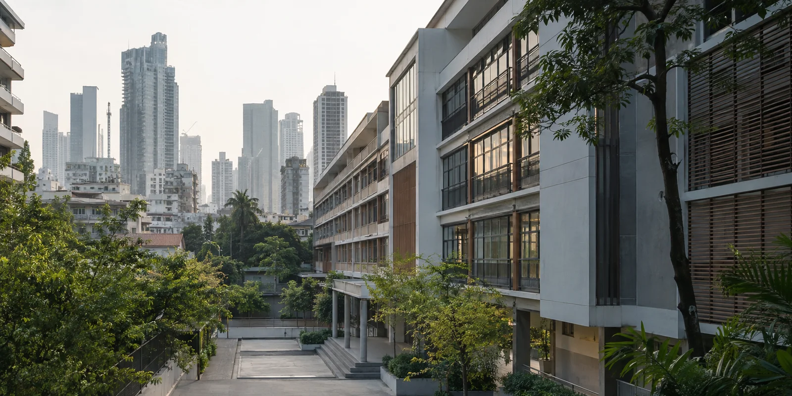
AI-generated campus illustration. Not a photograph of this school.
TH School’s Chua Boc campus offers the International Primary Curriculum within a school programme that also includes Vietnamese Studies. Use a mapping task to connect geographical understanding with clear communication. Choose the place and language for your class, then ask learners whether their instructions work for someone who has not written them.
What can you tell me about TH School’s Hanoi campuses and programmes? Use public sources and distinguish Chua Boc’s Primary programme from Hoa Lac’s High School pathways and the separate Vinh campus. Ask which campus, year group, programme and language I teach before suggesting a task. Flag anything you cannot confirm.
School context
Use a teacher-approved map with a key and a clearly marked starting point. Compare two sets of directions and ask where the reader could take a wrong turn. Agree a reference direction, write a route and let a partner trace it before the writer makes a revision.
Help me plan a Primary map-reading lesson for my confirmed TH School campus, year group, IPC objective and language of instruction. Ask for an approved simple map, its key, starting point and direction conventions. Begin with two sets of directions that differ in clarity. Ask learners to identify an ambiguous instruction, write a route using landmarks and a consistent reference direction, and have a partner trace it on the map. Let writers revise one instruction after the test. Use a teacher-approved or clearly hypothetical place; do not invent a TH campus layout or real pupil movements.
Ask learners to interpret symbols, trace a route and explain why one instruction could send a reader the wrong way. Include space to revise it after a partner’s attempt. Finish with a different starting point so each learner must apply the map conventions independently.
Draft a Primary mapping worksheet for my confirmed year group, programme, objective and language. Ask for my approved map, key, start and destination. Include symbol interpretation, route tracing, an ambiguous direction to improve, and space to record what a partner actually traced. Finish with a new starting point and an independent set of directions. Use landmarks and a consistent reference direction rather than assuming left and right are clear without an orientation. Add teacher-check notes. Do not invent a real TH School map, distances or access instructions.
Add a word bank for the map symbols and direction terms in the language I choose. Include an optional instruction frame for the first route. Keep the partner test and leave the directions from the new starting point without a frame.
Choose Library material after confirming the class, learning goal and source content.Browse the Library
Keep the map simple enough to read while learners explain a route. Show the same symbols in the key and on the map, mark the starting point and make the reference direction visible. Leave one route unmarked so learners can use the visual to test an explanation.
Describe a simple teaching map based on my approved material. Ask for the Primary year group, objective, places, symbols, direction conventions and label language. Include a matching key, clear start marker and reference direction. Leave the route learners must explain unmarked. Only include a scale if my objective and source map support distance work. Provide a text alternative and make symbols distinguishable without colour. Mark translations for my review. Do not represent an invented map as a real TH School campus.
Keep the conversation going
Tell PLAI™ what you want to change. Try one of these follow-ups with your draft, then check the result for your class.
Suggest a different opening question that connects this learning goal to something learners already know.
Add an optional vocabulary box and a sentence starter. Keep the main reasoning task and final independent question.
Add a follow-up question that asks learners to explain their reasoning in a new situation.
Start with your class objective and approved map. Ask PLAI™ for a draft learners can trace, question and revise, then check the symbols, route and language before classroom use.
Start with PLAI™