Geography
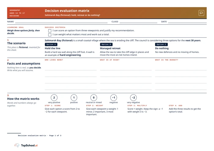
Decision evaluation matrix: Saltmarsh Bay
Compare three coastal-management options using weighted environmental, economic and social criteria, then support a recommendation and identify a risk or uncertainty.
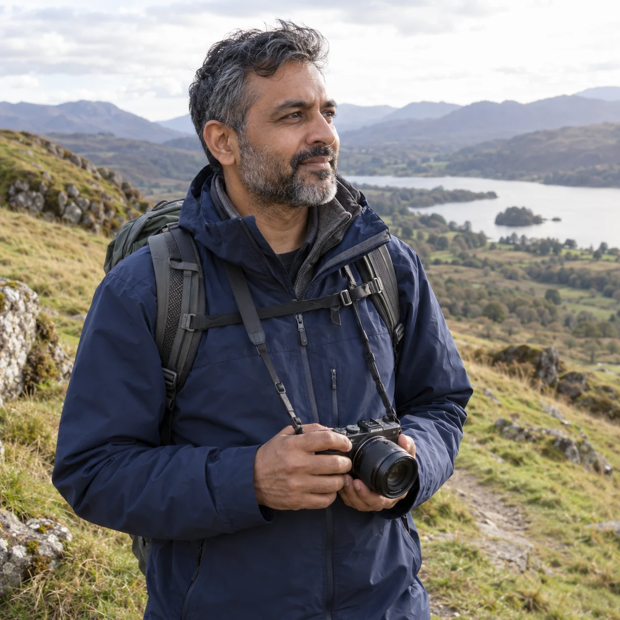
Head of Geography
I use local Geography fieldwork with data-processing support that leaves interpretation to pupils, asking what observations show and how securely they answer the geographical question.
Explore the collectionI lead Geography and run the fieldwork programme. The city itself is part of that work, including visits connected with construction and the green economy. A visit gives students a place to gather information; it does not do the geographical analysis for them.
I look for data-processing scaffolds that help students handle observations while preserving the skill they are meant to practise. Support should make a method easier to follow without filling in the interpretation. Back in class, pupils still need to decide what the data might show and how securely it answers their question.
Off-site work also depends on preparation. Risk-assessment drafts need to be ready for review before a visit, and the plan has to fit the site and activity. I value resources that keep the geographical purpose and the practical arrangements visible together.
Use city fieldwork as a source of evidence for a defined geographical question.
Scaffold data handling without supplying the interpretation.
Prepare site-specific risk-assessment drafts for review before visits.
Explore these templates and decide what fits your own setting.
Geography
Compare three coastal-management options using weighted environmental, economic and social criteria, then support a recommendation and identify a risk or uncertainty.
Geography
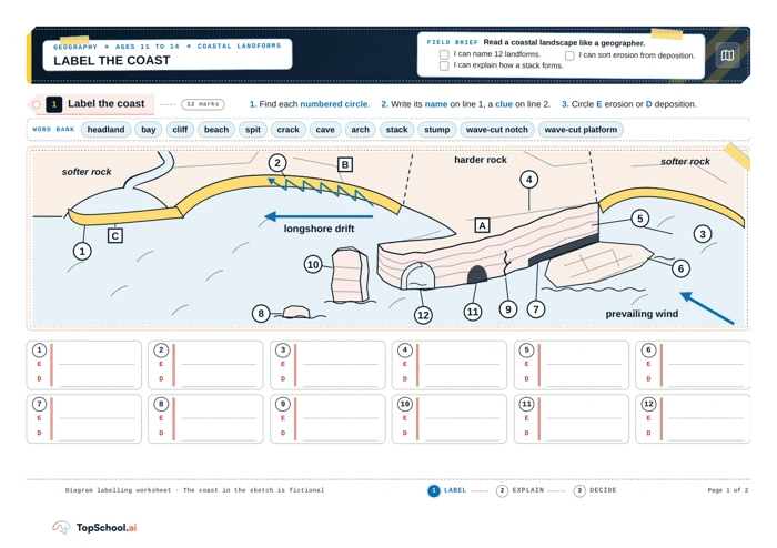
Identify coastal landforms, explain selected erosion processes and make a reasoned choice among fictional site options.
Geography
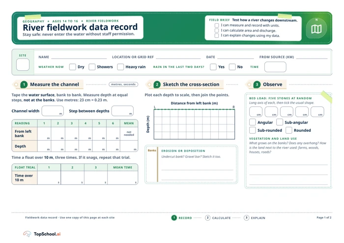
Record river measurements with units, calculate area and discharge, and use the data to explain a downstream pattern.
Geography
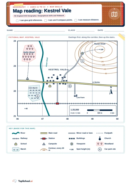
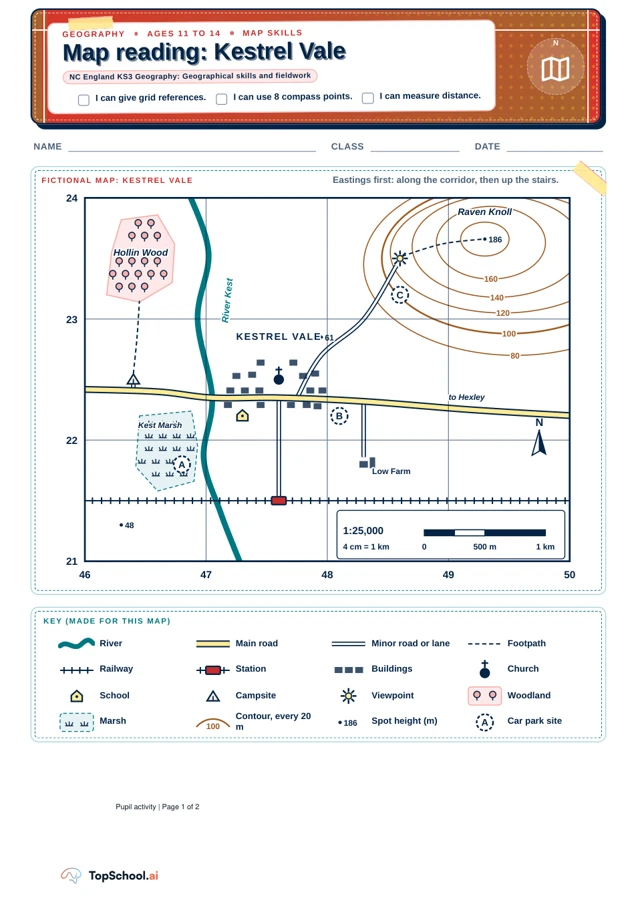
Locate places with four- and six-figure references, describe direction and distance, and justify a site choice with evidence from a fictional map.
Geography
Pupils should give four- and six-figure references in easting-first order, describe direction from the stated starting place and convert measured distances using the scale. Their route and car-park judgements should cite specific features and acknowledge a disadvantage.